
Earth observation and geospatial data.
Satellite data that answers a question, not just an image.
Earth observation
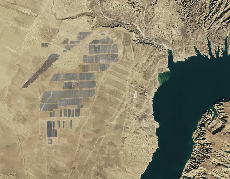
Kazakhstan is the ninth-largest country in the world and most of it is seen only from orbit. Imagery is available; turning it into a decision about land, water, infrastructure or emergencies still takes specialists weeks.
Use caseWhat the agent doesDataWho gets the result
Change detectionCompares imagery over time and reports new construction, deforestation, flooding or illegal activitySatellite imageryLand, forestry and emergency agencies
Land use and crop classificationMaps what is grown where and whether land is used as registeredImagery, cadastreMinistry of Agriculture, akimats
Infrastructure monitoringWatches pipelines, roads, power lines and mining sites for ground movement and encroachmentImagery, InSARInfrastructure operators
Water and environmentTracks reservoir levels, snow cover, pollution and vegetation healthImagery, hydrological dataWater and environment agencies
Geospatial question answeringLets an analyst ask “what changed in this district since spring?” and get a map and a reportProcessed layers, GISAnalysts, decision-makers
These are capabilities we offer, not a list of delivered projects.
Processing in the cloud or a Kazakhstan data centre; results delivered to the customer's GIS, on-premise where required.
One territory, one question, one season: a pilot with an accuracy target agreed up front.
Not sure where to start?
Let's talkOther industries